
Hamilton Sketches – Historical Landscape of Durand
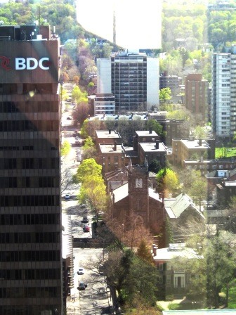
Yesterday, I devoted myself to research and sketching the Durand neighbourhood. I tried to understand what the Central Public School and the MacNab Street Church area looked like in the 1850s.
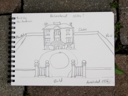
What did this place look like back when it was first built?
Using various sources, I tried to re-construct the landscape.

Sometimes nothing exists from the 1850s.
Even when you have access to original photos, it may be hard to recognize what you are looking at or exactly where buildings were located.
A good example – the estate that was located on Bold street. Today, you would never realize that Peter Hamilton’s home was located where apartment buildings are now standing.
I used to live one block away. I never knew the history.
